Introduction
The University College Dublin (UCD) in collaboration with Vertice has developed an advanced Ship Detection model leveraging Oracle AI Vision Service.
What is ship detection?
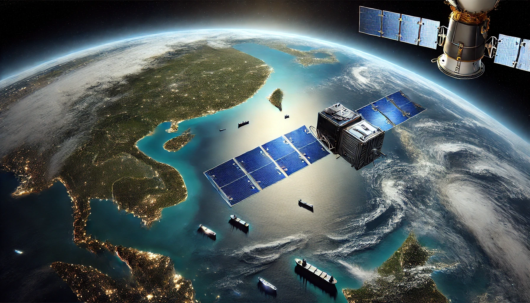
Ship detection in remote sensing (RS) images refers to locating ships in the images. Ship detection is valuable for many applications including monitoring maritime traffic, facilitating rescue operations, and managing cargo transport and many other use cases.
UCD have previously developed a Ship detection Machine Learning model, which utilises Sentinel-2 Level-2 images. At the core of the service is a machine learning (ML) model based on the YOLO architecture (You Only Look Once) (https://github.com/ultralytics/yolov5). Several models were trained using nearly 4,000 images in the publicly available LEVIR-Ship (https://github.com/WindVChen/LEVIR-Ship) dataset and additional data generated by augmentation techniques. The Ship Detection model is included as part of the CAMEO project, which is being developed by a consortium of partners comprising University College Dublin as lead partner, and various industry partners.
Vertice and UCD wanted to explore the use of Artificial Intelligence via Oracle Vision, to provide an alternative methodology to the Ship Detection model.
Why use Oracle?
Oracle’s AI Vision is a service that allows us to perform deep-learning-based image analysis as scale, and it can be trained with custom data, so we can leverage Sentinel-2 level satellite imagery and make use of several services available in Oracle Cloud Infrastructure:
- Oracle Data Labelling Service – to manually label each Sentinel-2 image and identify ships using bounding box annotations

- AI Vision Custom Model – custom model to be created using the labelled data from Oracle Data Labelling service
This approach offers a novel methodology for exploring object detection through Oracle’s AI capabilities, providing an opportunity to assess & compare UCD’s Ship Detection model’s performance.
Why Vertice?
Vertice brings practical experience and a hands-on approach to solving complex challenges using Oracle Cloud Infrastructure. Our team has a deep understanding of how to make Oracle’s tools work effectively in real-world scenarios, ensuring that every solution we build is both functional and efficient.
What sets us apart is our:
- Proven Expertise: We’ve worked extensively with Oracle AI Vision and related services, giving us the know-how to design workflows that get the job done without unnecessary complexity.
- Custom Solutions: We don’t just use the tools as-is. For this project, we developed a custom preprocessing pipeline using a Jupyter Notebook and Oracle Storage, tailored to the specific requirements of satellite imagery analysis.
- Collaborative Approach: By working closely with partners like University College Dublin, we ensure the solutions we deliver are rigorously tested and meet both academic and industry standards.
- Focus on Results: We prioritize practical, measurable outcomes over flashy promises, ensuring our clients get solutions that genuinely solve their problems.
At Vertice, we’re about delivering results, not hype. This project is just one example of how we approach challenges with a clear, straightforward plan and the tools to execute it effectively.
Challenges in Ship Detection
Satellite images are vast and often contain a high level of detail. Processing these images effectively to detect small objects like ships required tiling the images into manageable sections. Additionally, the variability in ship sizes, shapes, and environmental conditions (e.g., cloud cover, waves) posed additional complexities.
Our Approach
Using Oracle AI Vision we were able to build a robust ship detection pipeline:
Data Preprocessing: We utilised Docker Container technology with a provisioned JupyterLab Notebook interface to write scripts that converted JP2 files to JPEG. Based on the approach used by UCD in the development of the YOLO-based model, we then processed high-resolution Sentinel-2 images by dividing them into smaller tiles, and uploaded them to an Oracle Storage Bucket. This ensured each section of the satellite images could be efficiently analysed without losing visual fidelity.
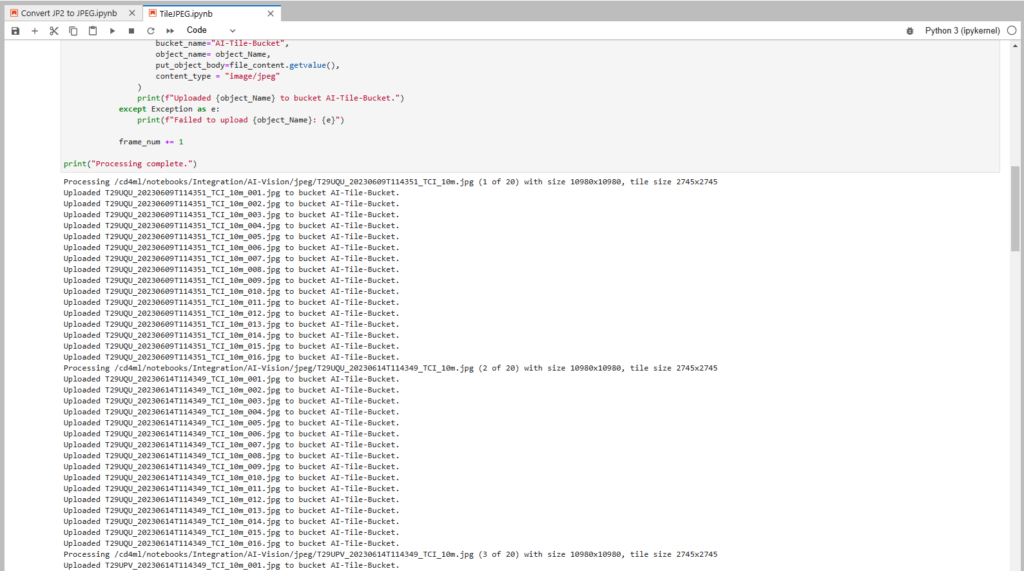
- Data Labeling: The Oracle Data Labeling Service was then used to read the tiled images from the storage bucket. Ships were manually labeled using bounding box annotations to create a high-quality training dataset.
- Model Training: Using Oracle AI Vision’s custom model training capabilities, we used 600+ tiled images to train a custom model to recognise ships using the labelled images from the previous step. The training data we used incorporated diverse examples to account for variations in ship appearance and environmental conditions.
- Integration and Testing: The trained model was integrated into a pipeline that processes new satellite images, detects ships, and outputs results in near-real-time, ensuring scalability and reliability.
Key Benefits Realised
The model achieved impressive accuracy in detecting ships across various scenarios, including densely populated harbors and open seas. By automating the detection process, it significantly reduced the time and effort required for manual monitoring.
In addition to these results, the project delivered several key benefits:
- Reduced Manual Effort: Automation drastically reduced the workload required for ship monitoring, freeing up resources for other tasks.
- High Accuracy: Reliable detection across varying conditions ensured dependable results, even in challenging environments.
- Scalable Solution: Built on Oracle AI Vision and OCI, the system efficiently handles large-scale image analysis, making it adaptable to global needs.
- Customised Data Processing: A tailored pipeline for tiling and preprocessing high-resolution Sentinel-2 images ensured effective handling of complex data.
- Enhanced Operational Capabilities: Near-real-time insights empower critical operations like maritime surveillance, disaster response, and environmental compliance.
Applications
This ship detection technology can be applied in several domains, such as:
Monitoring illegal fishing activities.
Enhancing border security.
Supporting disaster response efforts by identifying ships in affected areas.
Our work demonstrates the power of Oracle AI Vision in solving real-world challenges and delivering value to customers.
Broader Implications
But the potential of this technology goes far beyond these immediate applications. By leveraging advanced satellite imagery and AI capabilities, we can address many real-world applications such as:
Enhancing surveillance for illegal activities like piracy and smuggling.
Monitoring environmental compliance, such as identifying vessels near protected marine areas.
Supporting search and rescue operations during maritime emergencies.
By utilising Oracle AI Vision, we transformed a complex challenge into an efficient and scalable solution, showcasing the impact of AI in addressing critical global issues.
Products List
- Oracle Cloud Infrastructure (OCI)
- Oracle Compute (VM)
- OCI Storage Bucket
- Oracle Data Labeling Service
- Oracle AI Vision
Contact us today to arrange an assessment or email:

Vertice
Customer. Data. Solutions.
